Maritime Traffic Safety Department
Supporting systems of VTS Zatoka Gdanska
Supporting systems of VTS Zatoka Gdanska
Systems supporting the work of VTS Zatoka Gdańska duty services
SafeSeaNet system - exchange of information
Details of how SafeSeaNet works can be found in the "SafeSeaNet" tab.
Systems used for monitoring of the vessels traffic
Radar stations
There are six shore radars working for the VTS centre at the Gulf of Gdańsk area. They are located in the following locations:
- Wladyslawowo,
- Hel Lighthouse,
- Tower of the Gdynia Harbour Master’s Office,
- Tower of the Gdansk Harbor Master's Office – Port Północny,
- Górki Zachodnie - radar tower,
- Krynica Morska Lighthouse.
There are three port radars available for monitoring and managing vessels traffic in ports (on roads and anchorages):
- Hel - port radar,
- Gdynia "S" – Wenda Quay,
- Gdańsk - Nowy Port.
Additionally, on the tower of the oil and gas extraction platform - Baltic Beta, a long-range shore radar was installed (part of the National Maritime Safety System (KSBM)), which can be used by the VTS centre.
AIS - PL system
The AIS-PL receivers located along the Polish coast and on the Baltic Beta platform allow to receive data sent by AIS (Automatic Identification System) devices installed on board the vessels. The obtained data allows for the identification of the vessel and tracking her route.
Radio direction finders
There are three radio direction finders (RDF) set on the VHF channel 71(the VTS centre working channel) for quick identification of calling vessels. Radio direction finders are located at the Hel Lighthouse, the tower of Gdańsk Harbor Master's Office and at the Krynica Morska Lighthouse. The RDF can be set to a different frequency, e.g. VHF channel 16, in order to identify the position of the vessel in emergency.
iMARE Application
The iMare application developed by the Spanish company INDRA combines the data obtained from vessel traffic monitoring systems with the VTS database. The image presented on the VTS operator console consists of the following elements:
- data contained in the ECDIS electronic map, updated with map cells provided by Hydrographic Office (BHMW);
- a synthetic radar image (derived from a fusion of several devices);
- AIS (automatic identification system) data from the Polish chain of coast stations.
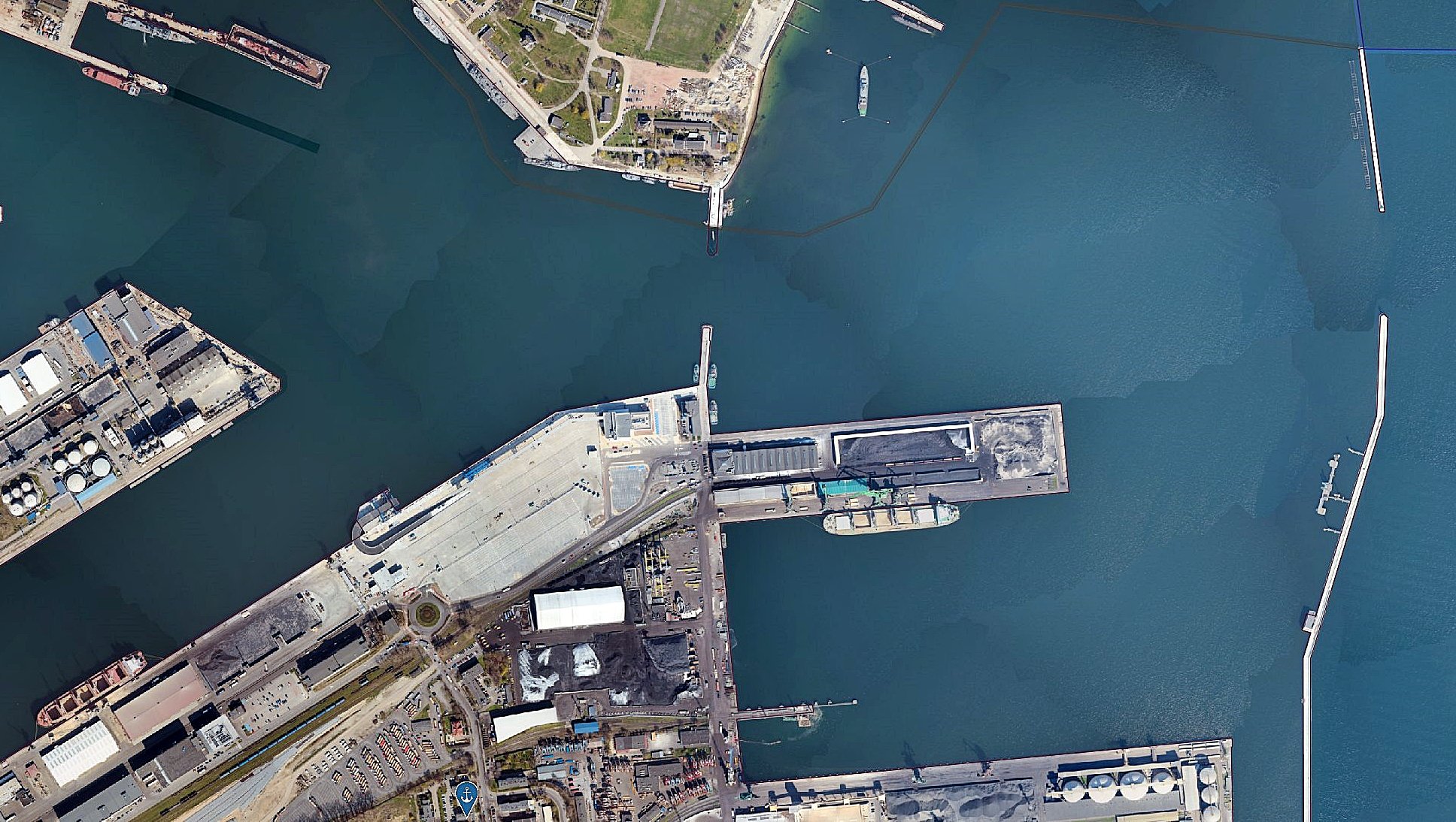
A typical VTS traffic image is shown in the figure below.
Radio communication
The basic means of communication with vessels is the VHF communication system and VHF DSC selective calling. The VTS centre uses the working frequency – VHF channel 71 and the substitute frequency – VHF channel 66. VHF touch consoles allow to select the transmitting and receiving station, operating mode (automatic station selection based on the signal strength or operator selection), searching for selected channels and calls recording. The system uses six Elvys VHF and VHF DSC remote transceivers located at the following locations:
- Rozewie radio beacon,
- Hel radio beacon,
- Tower of the Gdynia Harbour Master’s Office,
- Tower of the Gdańsk Harbour Master's Office,
- Krynica Morska Radio beacon,
- Long-range station located on the tower of the Baltic Beta platform.
Long range cameras
Another tool supporting the work of the VTS operators is the long-range camera system (CCTV). The camera dedicated to the VTS centre is located at the Hel Lighthouse and its range is 7 nautical miles. The other five cameras support the Harbour Master’s Offices duty services and boatswain's offices. These cameras are located in the following ports and marinas:
- Hel,
- Gdynia,
- Gdańsk Nowy Port,
- Gdańsk Port Północny Port,
- Górki Zachodnie.
Recording of vessel’s visits
The VTS centre and harbour master's offices work on the same database application (DMIS).
The application allows to record the ongoing movement of vessels, arrivals and departures into the VTS area, berths, berthing or unberthing times, shiftings for all notified visits - current and historical. Thanks to this solution, the vessel’s visit record from the moment of its notification (notification by the agent of the vessel's intention to enter the port) until it leaves the VTS area is available to all parties that are required to enter data at various stages of the vessel’s visit. The DMIS application is a database dynamically linked to the iMare application, used by the operators of VTS Zatoka Gdańska, VTS Szczecin-Świnoujście and port authorities.
Hydro-meteorological service
The VTS centre provides the vessels located in the Gulf of Gdańsk with information on the current and forecast local hydrometeorological situation. The service of the hydrometeorological cover is provided by the Institute of Meteorology and Water Management (IMWM) and own data from hydrometeorological sensors. These sensors are located in selected places important from the point of view of safe navigation and obtaining reliable measurements for entry and exit from the port and issuing exemptions from pilot and tug services. The following parameters are determined from the hydrometeorological sensors:
- wind direction and speed,
- the direction and speed of the current,
- water level.
The sensor indications are extremely important when monitoring the hydrometeorological conditions during the warning and emergency situations related to strong winds and rising water levels announced by the Director of the Maritime Office.
National Maritime Safety System KSBM
As part of the construction of KSBM, a network of radar stations, cameras, radio direction finders, VHF stations, hydro-meteo stations, DGPS and AIS stations was developed and the tools for the management and monitoring available to VTS centries and harbour offices were unified.
All VTS centries and major harbour master’s offices are equipped with the same consoles. Thanks to this solution, it is possible to uniformly develop the application for vessel traffic management, monitor all vessel traffic to Polish ports for the needs of NSS/SSN and NSW.
-
AuthorMichał Tomczyk
-
Creation date11 March 2022
-
Modified1 April 2022 by Michał Tomczyk