Maritime plans
GIS data of the Spatial Development Plan of Polish Sea Areas
- 11 June 2021
- admin
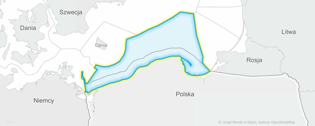
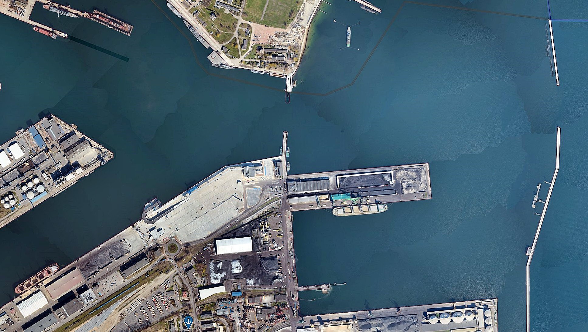
Spatial development plan for internal sea waters and territorial sea
and the exclusive economic zone on a scale of 1: 200,000 was adopted by the Regulation of the Council of Ministers of April 14, 2021 (Journal of Laws of 2021, item 935).
It is also possible to download spatial data regarding water bodies or their separate parts in the form of SHP files:
Download GIS data from the website sipam.gov.pl
![]()
-
Authoradmin
-
Creation date11 June 2021
-
Modified4 March 2022 by admin